Transforming Cities with Precise Geospatial Data
We collect, analyze, and update mapping information for businesses and urban planning. Join our projects and be part of the future of geospatial technology.
Contact usOur Services
Unlock the Power of Geospatial Data for Your Business

Geospatial Data Collection
We gather accurate and high-resolution geospatial data using advanced mapping technologies, including aerial, satellite, and street-level data collection.

Mapping and GIS Updates
We update and maintain geographic information systems (GIS) to ensure businesses and organizations have access to the latest city maps, infrastructure details, and urban planning data.

Mobile Data Collection
Using specialized equipment and applications, we conduct vehicle-based and pedestrian-based surveys to capture real-time changes in city landscapes, roads, and infrastructure.

3D Mapping & Panoramas
We create immersive 3D city models and panoramic imagery to support urban planning, navigation systems, and location-based services.

Data Processing & Analysis
We clean, refine, and analyze collected geospatial data to ensure precision and usability for business applications, urban development, and logistics planning.

Business Intelligence for B2B
We provide tailored geospatial solutions for businesses, helping companies optimize routes, identify trends, and enhance decision-making using location-based insights.
Our Projects
Only the best projects for your unique tasks
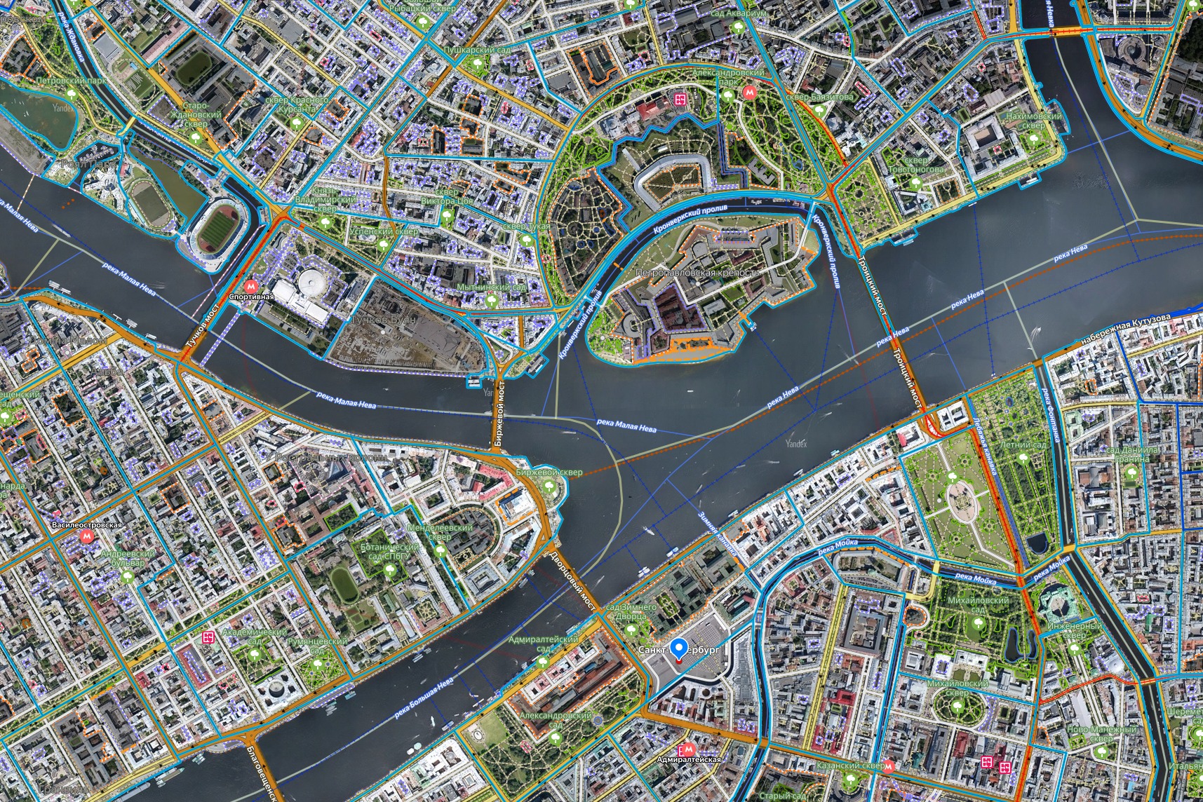
OpenMap Update
Remote participation in the project. The task is to update objects on an online map using your own computer and satellite images on the People's Map website.
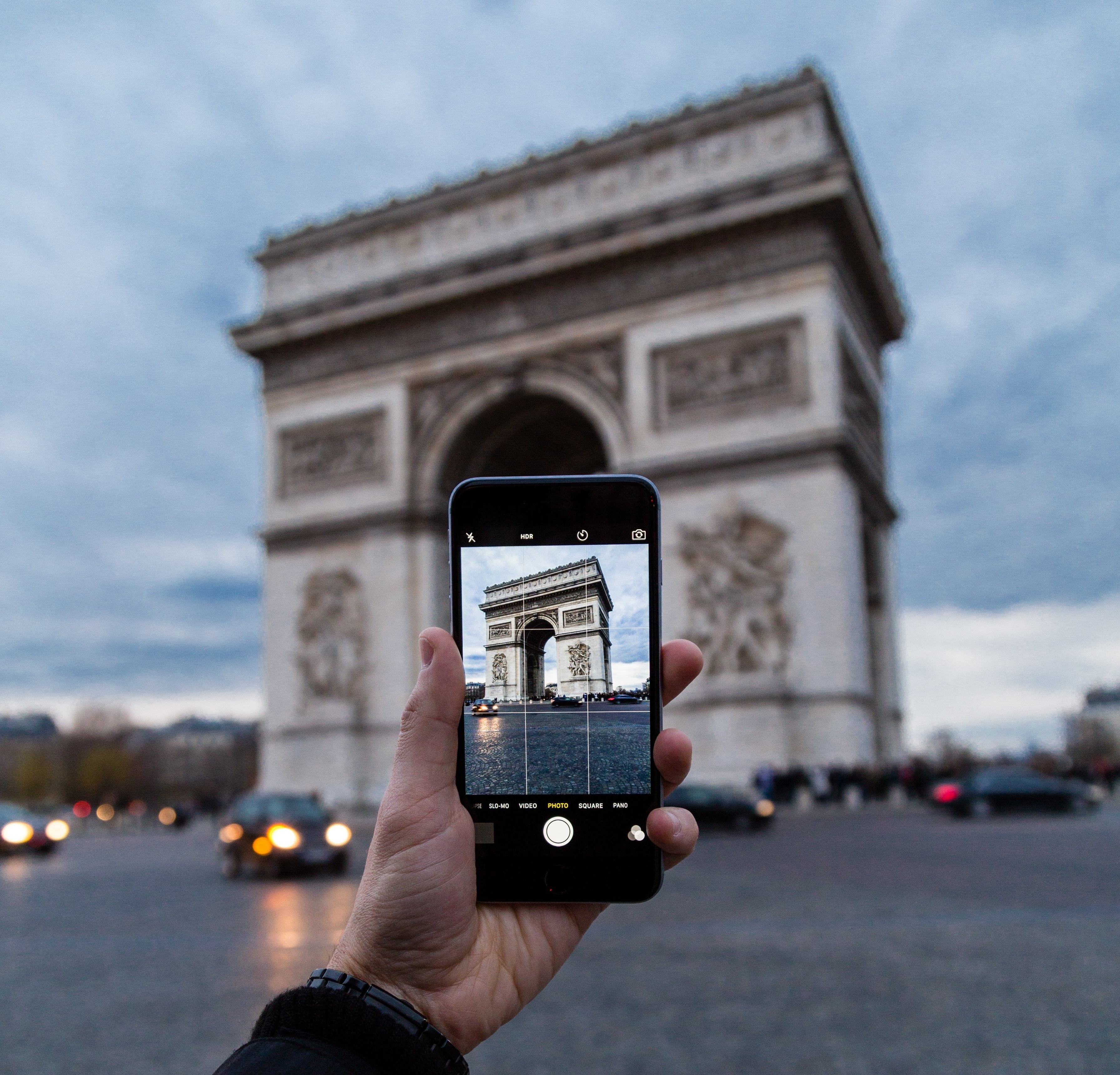
WalkPath
A pedestrian project where it is necessary to update pedestrian infrastructure objects throughout the city during daylight hours.
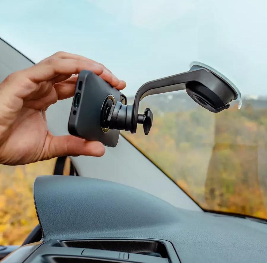
DriveView
A car-based project that requires driving along a designated route within the city using a special application on your own vehicle during daylight hours.
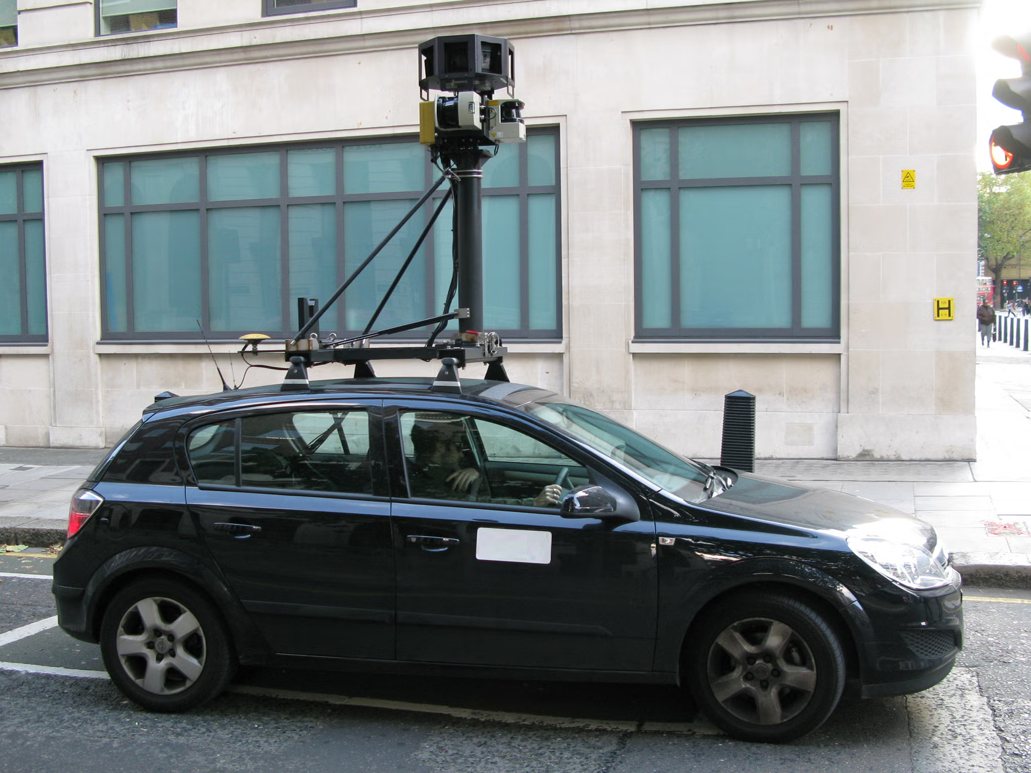
StreetScope 360
A car-based project that requires driving along a designated route in the city using special cameras and equipment mounted on a branded vehicle during daylight hours.

IndoorMap
A pedestrian project that involves updating objects inside buildings, locations, and shopping centers throughout the city during working hours.

BizMap
A pedestrian project that requires updating all organizations and enterprises in the city. A special mobile application is used to collect data.
About Us
Driving Innovation in Geospatial Data Collection
INSS projekt d.o.o
At INSS projekt d.o.o, we specialize in collecting, processing, and updating geospatial data to keep cities and businesses equipped with the most accurate mapping information. Our expertise spans across GIS solutions, urban infrastructure mapping, and cutting-edge mobile and aerial data collection techniques.
What We Do
We work with businesses, municipalities, and organizations worldwide, offering high-precision geospatial services. Our projects focus on:
✔ Geospatial Data Collection – Gathering high-resolution data through specialized tools and mobile applications.
✔ Mapping and GIS Updates – Keeping urban maps, infrastructure layouts, and city plans up-to-date.
✔ Mobile and Aerial Data Capture – Conducting real-time street, building, and environmental data collection.
✔ 3D City Mapping – Creating panoramic and 3D models for navigation and urban planning.
✔ Data Processing & Business Intelligence – Transforming raw data into actionable insights for businesses.
Why Choose Us?
Cutting-Edge Technology – We use the latest GIS, AI-powered analytics, and mobile data capture systems.
Global Reach – We collaborate with international companies and municipalities to enhance smart city initiatives.
Precision & Reliability – Our rigorous data validation ensures the highest level of accuracy.
Flexible Collaboration – Whether you need large-scale mapping or localized GIS updates, we tailor our solutions to fit your needs.
Join Us in Shaping the Future of MappingWe are always looking for new partners, clients, and skilled professionals to join our mission in redefining geospatial intelligence. Let’s build smarter, more connected cities together.
Join Us in Shaping the Future of Mapping
We are always looking for new partners, clients, and skilled professionals to join our mission in redefining geospatial intelligence. Let’s build smarter, more connected cities together.
Contact us
Curae hendrerit donec commodo hendrerit egestas tempus, turpis facilisis nostra nunc. Vestibulum dui eget ultrices.